Databases
The databases made available by the Quetelet Center provide data ranging from the 16th to the late 20th century and encompass the entire Belgian territory. Together they contain more than 90 000 variables, information on 2 700 locations and the life courses of some 23 000 individuals. They cover a wide range of topics such as population change, migration, prostitution, poverty, prices and wages, elections, and so on. The data in the databases come from all kinds of historical sources, including civil registers of births, marriages and deaths, parish registers, court documents, lists of poor relief recipients, ordinances, and agricultural, industrial and population censuses.
Database of causes of death
S.O.S. Antwerp
The database S.O.S. Antwerp contains a detailed description of all causes of death in the city of Antwerp from 1820 until 1946. Of each person who died in the city during this period, the cause of death and individual data from other sources are brought together and made ready for scientific and other research.
Local statistics
LOKSTAT
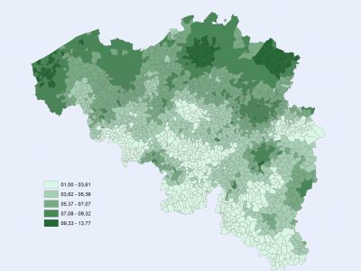
Are you looking for information about the growth and composition of the population since 1800? Would you like to see a map of where the various industries were located in Flanders and Wallonia at the end of the 19th century? Dive into the LOKSTAT database for this and more.
Land ownership in Belgium
POPPKAD
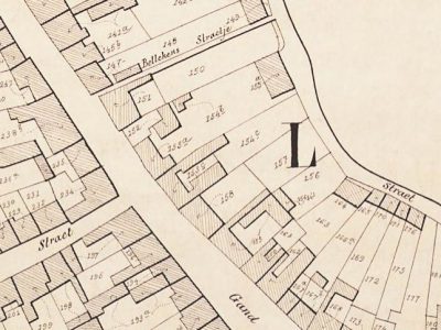
Do you want to know how many landowners a particular municipality had in the 19th century? Or how property was distributed among the different regions? Consult the POPPKAD database to find the answers.
Flanders and Brabant on a map
STREAM
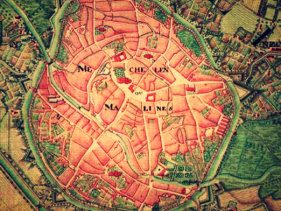
How many families were there per locality in 1697? How many people were active in agriculture and how many in other sectors? How did grain prices evolve in early modern Flanders and Brabant? The STREAM database offers an answer to these and many other questions.
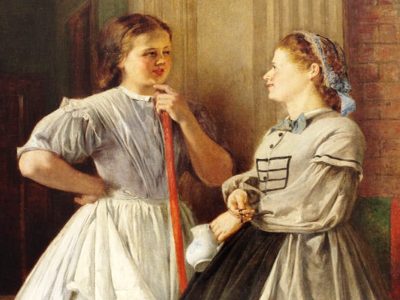
East Flemish female domestic servants
MAID
What were the characteristics of unmarried women who left their villages in the 19th century to work as domestic servants in Ghent? What was their experience of domestic service? What was their family background and which Ghent households did they end up in? Did they make a definitive break with their place of origin or did they return to their roots? The MAID database is a source of guidance.

Prostitution in Bruges
PROST
Who were the prostitutes in 18th-century Bruges? What was their position in society and in court? What sentences did they receive? What were their life courses like? At what age did they marry and how many children did they have? The PROST database answers all these questions.

Life-course data on deaf people
DEAF
What was life like for deaf people in the 18th, 19th and early 20th centuries? Which occupations were open to people with a physical disability? To what extent were they dependent on family or able to build an independent life? Find the answers to these questions in the DEAF database.
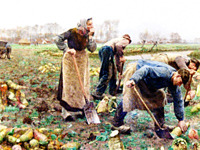
Single ladies in the Franc of Bruges
SINGLE
How did women in the 18th and 19th centuries survive without a spouse at their side? Did they live alone, in a family context, or did they create a household with unrelated people? Did they mainly live in rural areas or in the city? What jobs did they do? Check out the SINGLE database to find out more.

Historical Mortality Statistics
HISSTER
Do you want to know how many deaths there were in Adegem in 1841? Would you like to compare the number of stillborn children between municipalities in 1930? Curious about deaths resulting from diseases such as cancer and tuberculosis over the years? Check out the HISSTER database to find some answers.
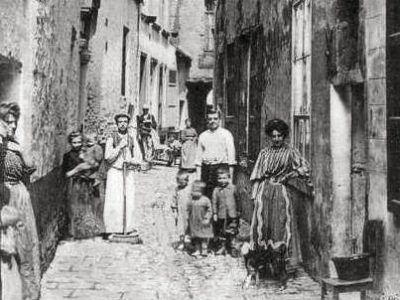
Urban Mortality Rates
URBAN DEATHS
How dangerous was life in the cities of Brussels, Liège and Schaerbeek in the year 1910? What was the average age at death? Which occupations were most risky? How many children were stillborn? The URBAN DEATHS database brings clarity to these issues.

Textile trade
BETHUNE
Bethune Castle in Marke is the location of the almost completely preserved company archive of the firm Bethune & Fils, the textile company with which the family amassed a fortune. Explore the fascinating world of the textile trade with the help of the database!
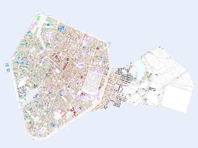
GIS BRUSSELS 1865
The geographic information system (GIS) of Brussels, the largest city and administrative centre of Belgium, in the year 1865. Interactive application developed using the historical cadastre published by P.C. Popp. Bring past landscapes, roads, houses, buildings and property relationships back to life with the help of new technologies.
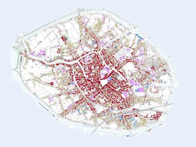
GIS BRUGES 1862
The geographic information system (GIS) of Bruges, a large provincial town and regional administrative centre, in the year 1862. Interactive application developed using the historical cadastre published by P.C. Popp. Bring past landscapes, roads, houses, buildings and property relationships back to life with the help of new technologies.
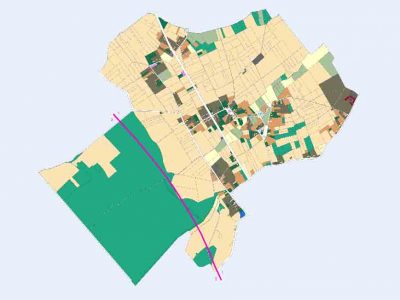
GIS MAZENZELE 1858
The geographic information system (GIS) of Mazenzele, a small agricultural municipality between Aalst and Brussels, in the year 1858. Interactive application developed using the historical cadastre published by P.C. Popp. Bring past landscapes, roads, houses, buildings and property relationships back to life with the help of new technologies.
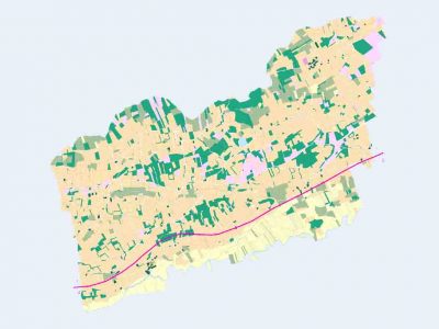
GIS LANGDORP 1861
The geographic information system (GIS) of Langdorp, a large rural municipality in the Campine area, in the year 1861. Interactive application developed using the historical cadastre published by P.C. Popp. Bring past landscapes, roads, houses, buildings and property relationships back to life with the help of new technologies.
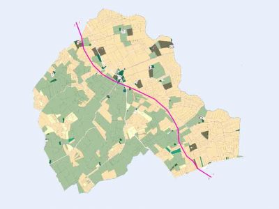
GIS RAMSKAPELLE 1842
The geographic information system (GIS) of Ramskapelle, a polder municipality near Bruges, in the year 1842. Interactive application developed using the historical cadastre published by P.C. Popp. Bring past landscapes, roads, houses, buildings and property relationships back to life with the help of new technologies.
Conditions of use
The databases of the Quetelet Center are available to interested parties in the context of specific research projects. Due to the creative and intellectual process by which the data infrastructures were developed, the databases are subject to copyright. Different levels of access apply depending on the type of data, its age and the type of research. Anyone who wishes to use the datasets must sign an agreement in which the terms of use are defined.
Copyright
Research which makes use of the data made available by the Quetelet Center and is published or disseminated in any other form must mention the origin of the data as specified in the agreement. Scientific articles and publications whose analyses and final conclusions make essential use of the Quetelet data infrastructures must mention the centre as a co-author.